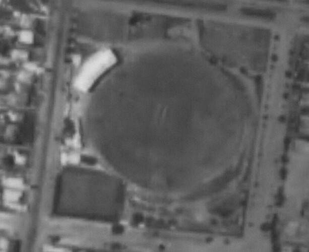
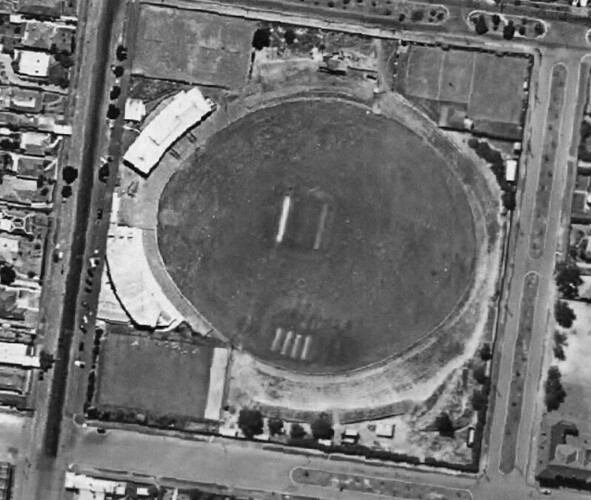
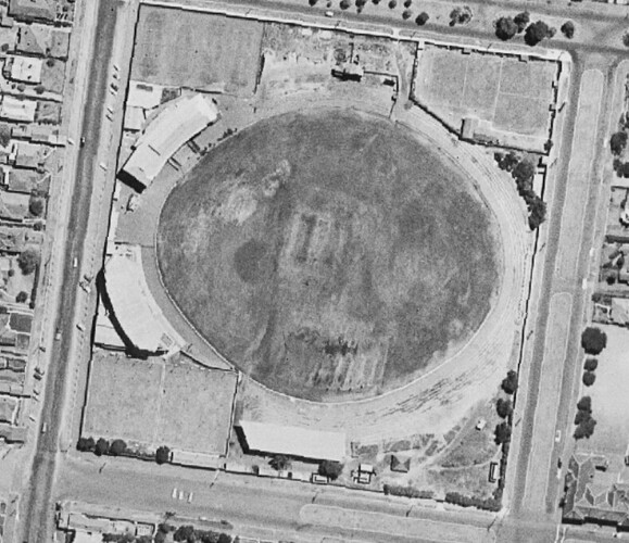
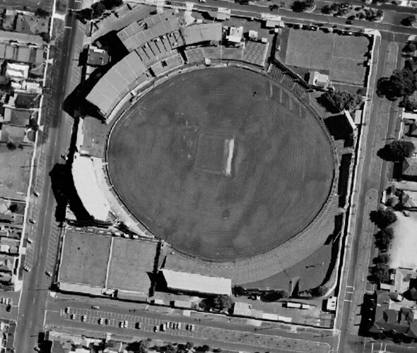
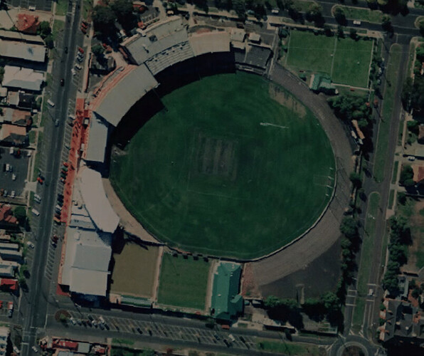
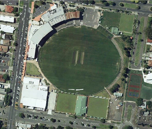
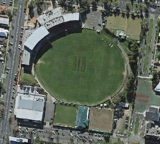
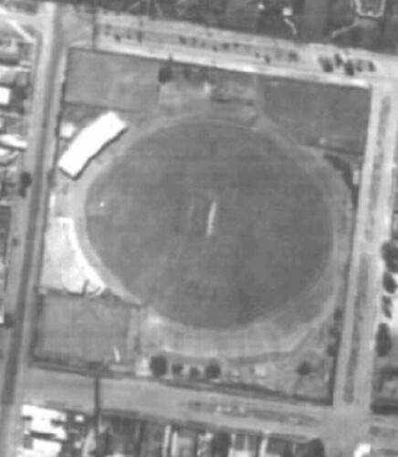
Distance over time is velocity.
Thyme over lamb is subtly delicious.
Windy Hill over time is harder to calculate.
To be fair, the bowls club has provided a significant net bonus of out-on-the-full free kicks to our VFL team.
Extrapolating from the bowls club eastward migration, I predict an invasion of the primary school by 2050.
The top right-hand portion (currently the croquet club) was actually zoned for keeping livestock until maybe five years ago.
The 2050 picture will be nothing but a sprawling metropolis of bowling greens.
For a time it was the only reserve in Melbourne to facilitate more than 3 sports.
May I ask how you obtained the imagery from pre 2010?
It’s not publicly available, but the photography was taken pretty regularly over the decades.
1945.Melbourne is free to use if you want to burn a few hours.
Love historic satellite imagery like that, shame what youre using isn’t publicly available.
This isn’t what I used, but seems pretty good.
l marvel that they had found out about colour photography by 1998. Surely they were ahead of their time.
The bulk of the good historical imagery comes from immediately after WW2. All the reconnaissance aircraft, cameras and aircrews were far better than anything available before the war. Australia used that capability to do a huge amount of domestic survey work before they were disbanded.
