Mt Buller was 40 mm to 9 am and 26 since, not looking like stopping any time soon, but luckily not torrential - yet. Finger in the wind says if it’s still raining at this rate past midnight we might see a spill of Eildon at several 10s of k MLday over the weekend. I’d guess inflows could get towards 30-50k ML /day, and there’s only about 50-60 k ML spare room to FSL now (I think).
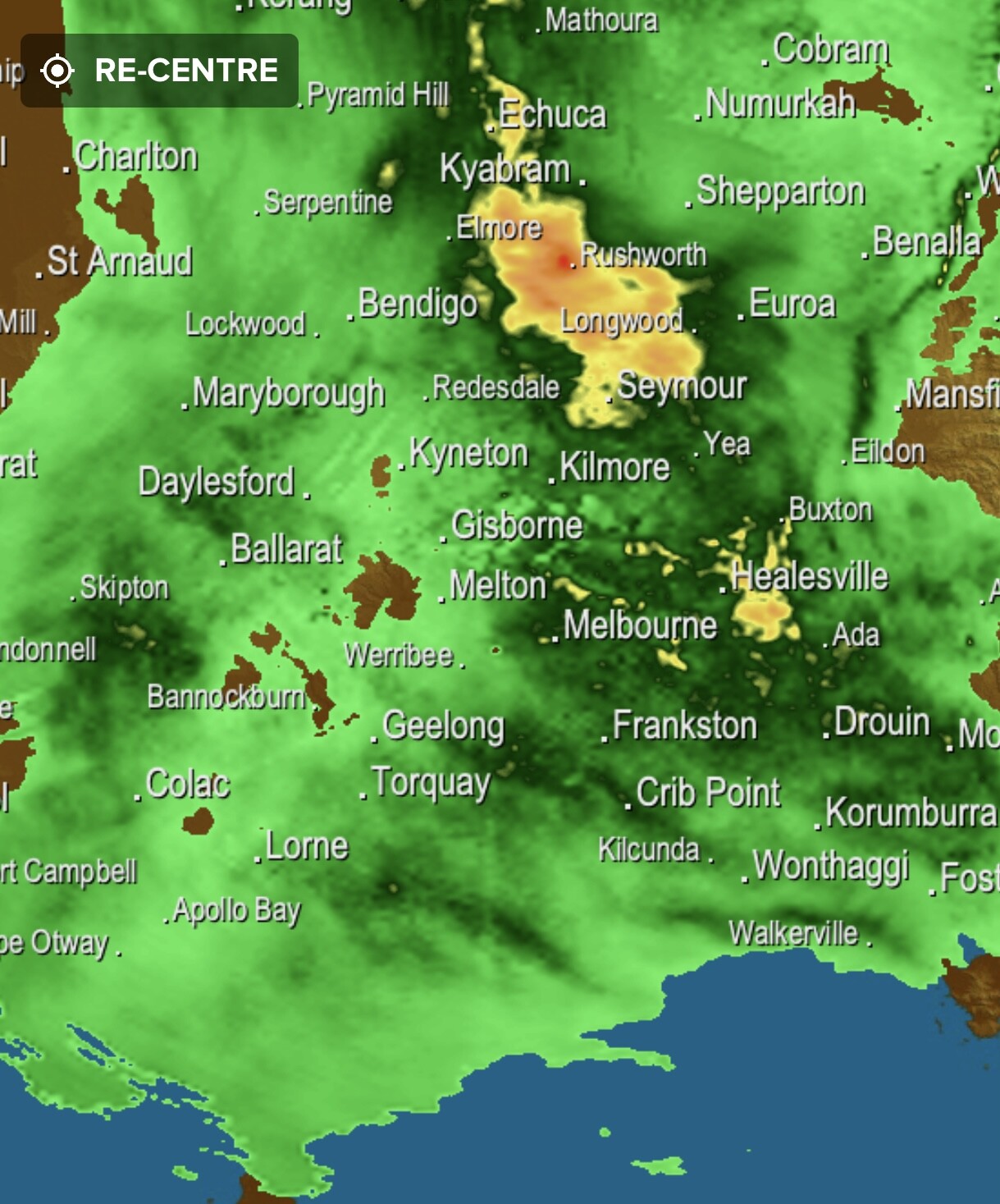
The orographic effect of the divide that is giving Kilmore etc so much grief seems to be shadowing Melbourne a fair bit.
Radar is lining up one last knockout punch for Seymour area - and may skip then toward the Eildon area. Still a bit to play out but it’s getting worse before it gets better.